Solutions

Home> Solutions> e-Voyage

e-Voyage

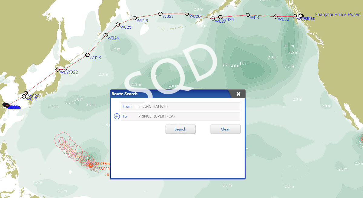
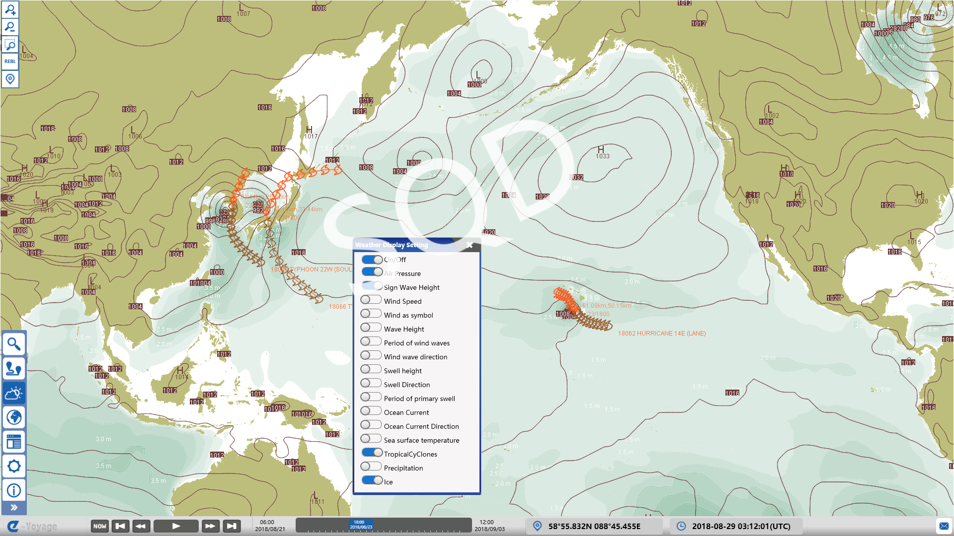
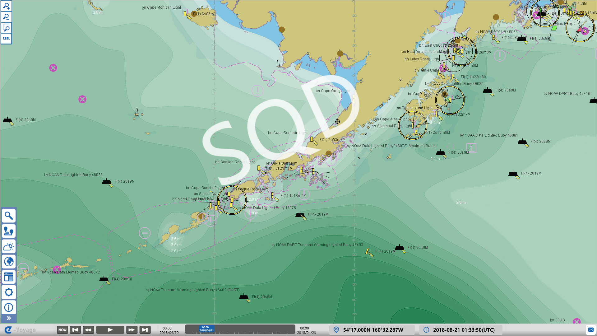
An advanced intelligent navigation system based on the seamless and visual integration of the official electronic ENC charts and ECMWF global mid and long-term high quality weather forecast information, can complete the automatic route design and energy efficiency optimization, and provide forecast and decision support for ship navigation under complex meteorological and sea conditions. Connecting with shore-based platforms, vessel bridge systems and cabins to achieve data sharing and information interoperability, the system can optimize ship and shore synergies, improve operational efficiency and proactively prevent and control safety risks, so as to save energy and reduce carbon emissions. The system has obtained the Certificate of Type Approval issued by China Classification Society (CCS).
Product functions

  • Automatic acquisition and visualization of short and medium-term weather forecast data


  • Display official electronic chart ENC and weather data in multiple levels and alternately


  • Route library


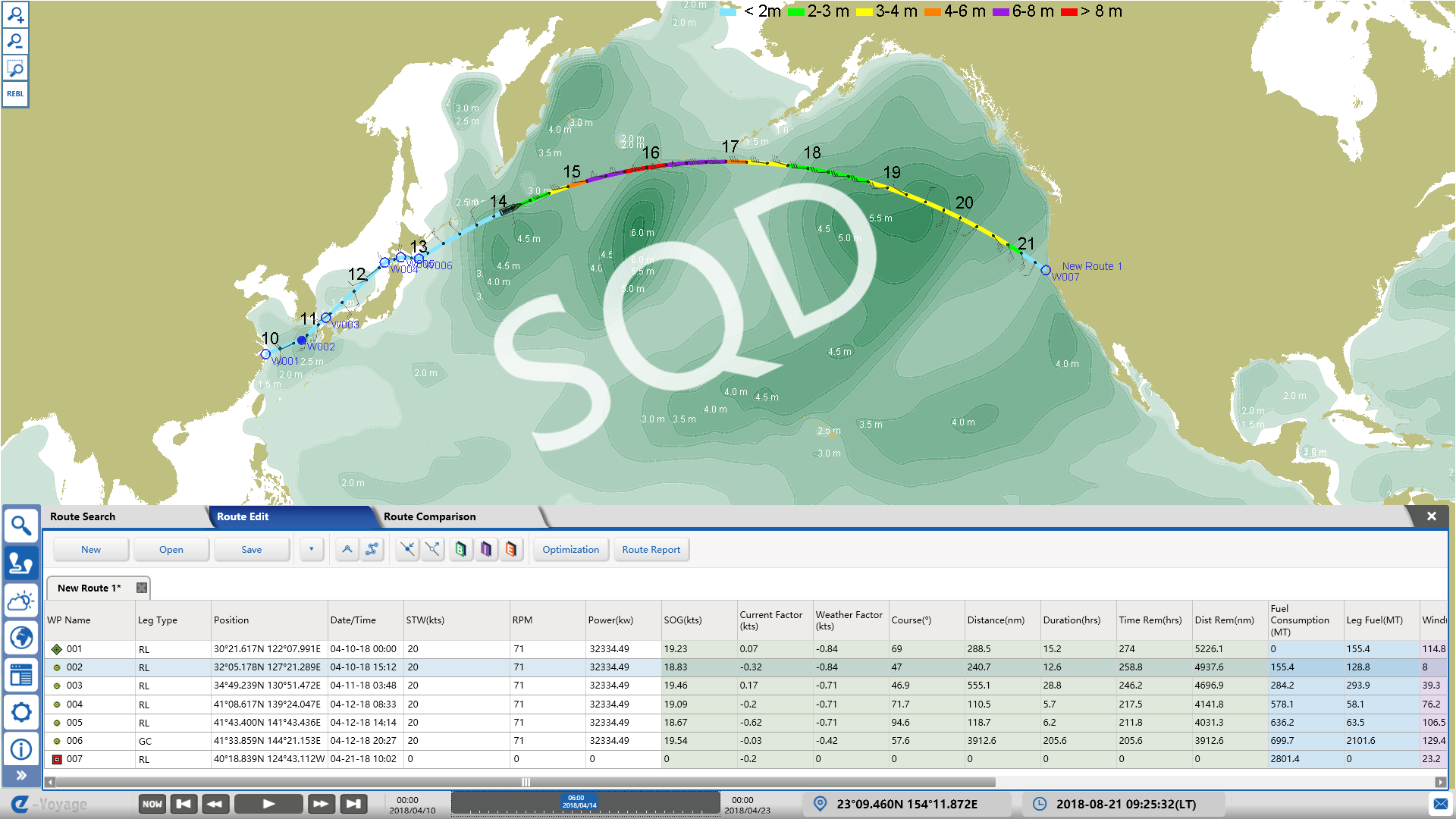
  • Route planning


  • Route optimization


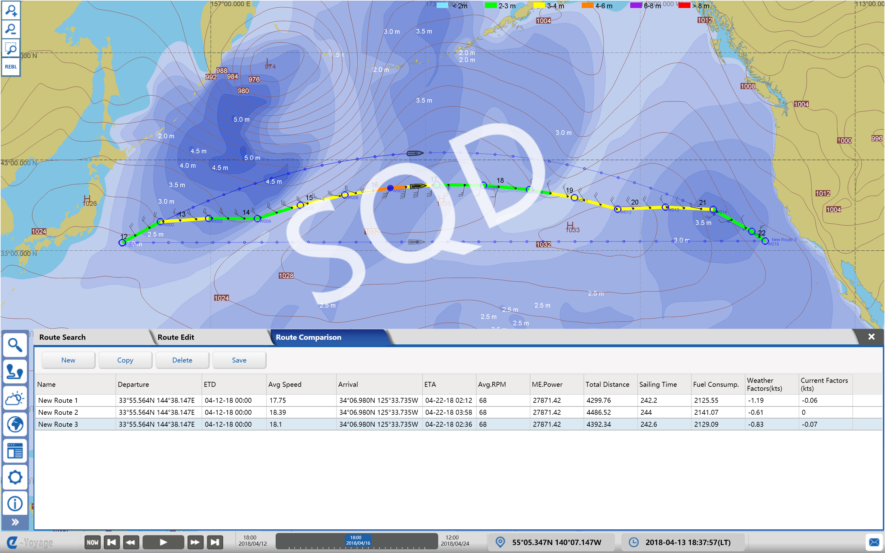
  • Route comparison and selection


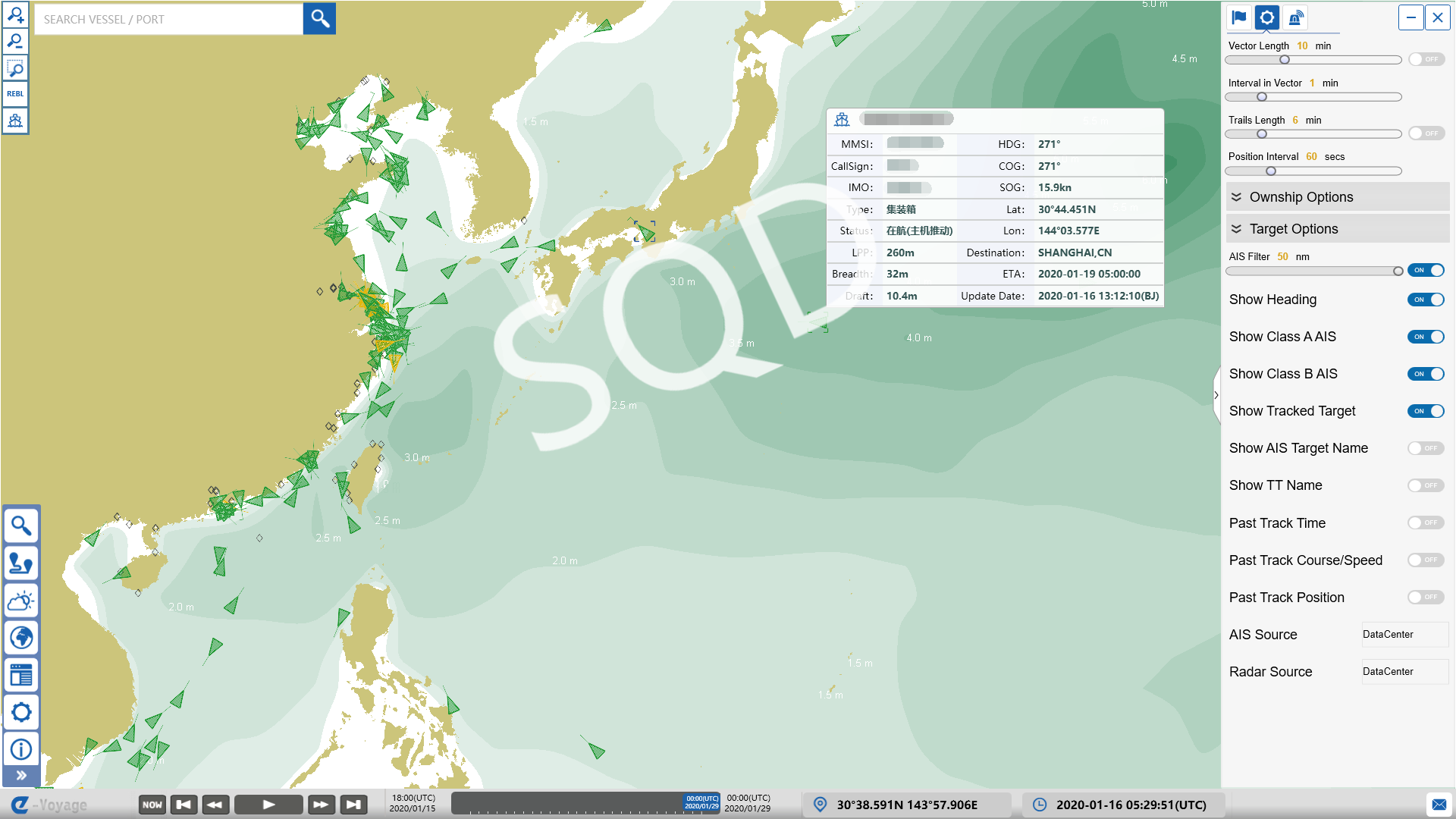
  • AIS position information inquiry and display


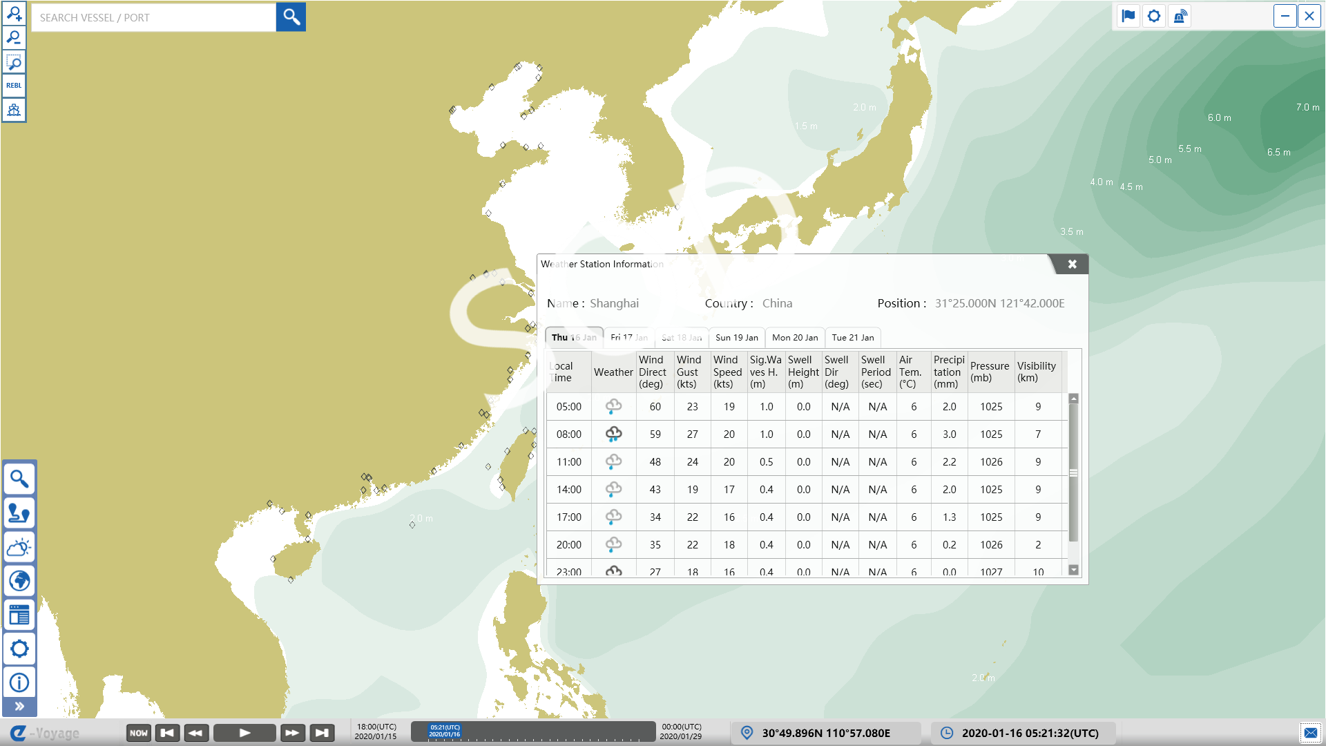
  • Marine weather forecast for global mainly ports


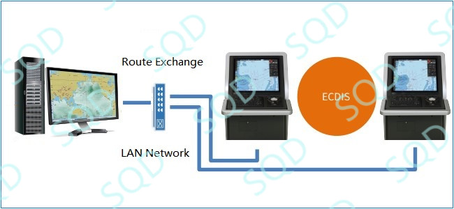
  • Automatic exchange of routes with ECDIS system on board


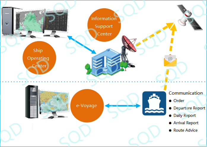
  • Collaborative optimization with shore-based information support platform

Product features

  • Display official electronic chart ENC and weather data in multiple levels and alternately
  • ECMWF global mid and long-term high quality weather forecast information
  • Energy efficiency management and optimization
  • Weather parameters:

Wind speed and direction;

Surface pressure;

Combined (total) wave height;

Wind waves height, mean period and direction;

Swell height, mean period and direction;

Ocean current;

Tropical cyclones;

Ice limits;

Sea surface temperature.

  • Route optimization:

Shortest sailing distance;

Shortest sailing time;

Lowest fuel consumption;

Lowest total cost.

  • Automatic exchange of routes with ECDIS system on board

Technical indicators

  • 14 days weather forecast period
  • 6 hours weather data resolution
  • International common standards weather data units
  • IHO S52 V3.4 standard for Electronic chart display
  • IHO S57 data format standard for Electronic chart