Solutions

Home> Solutions> ECDIS

ECDIS

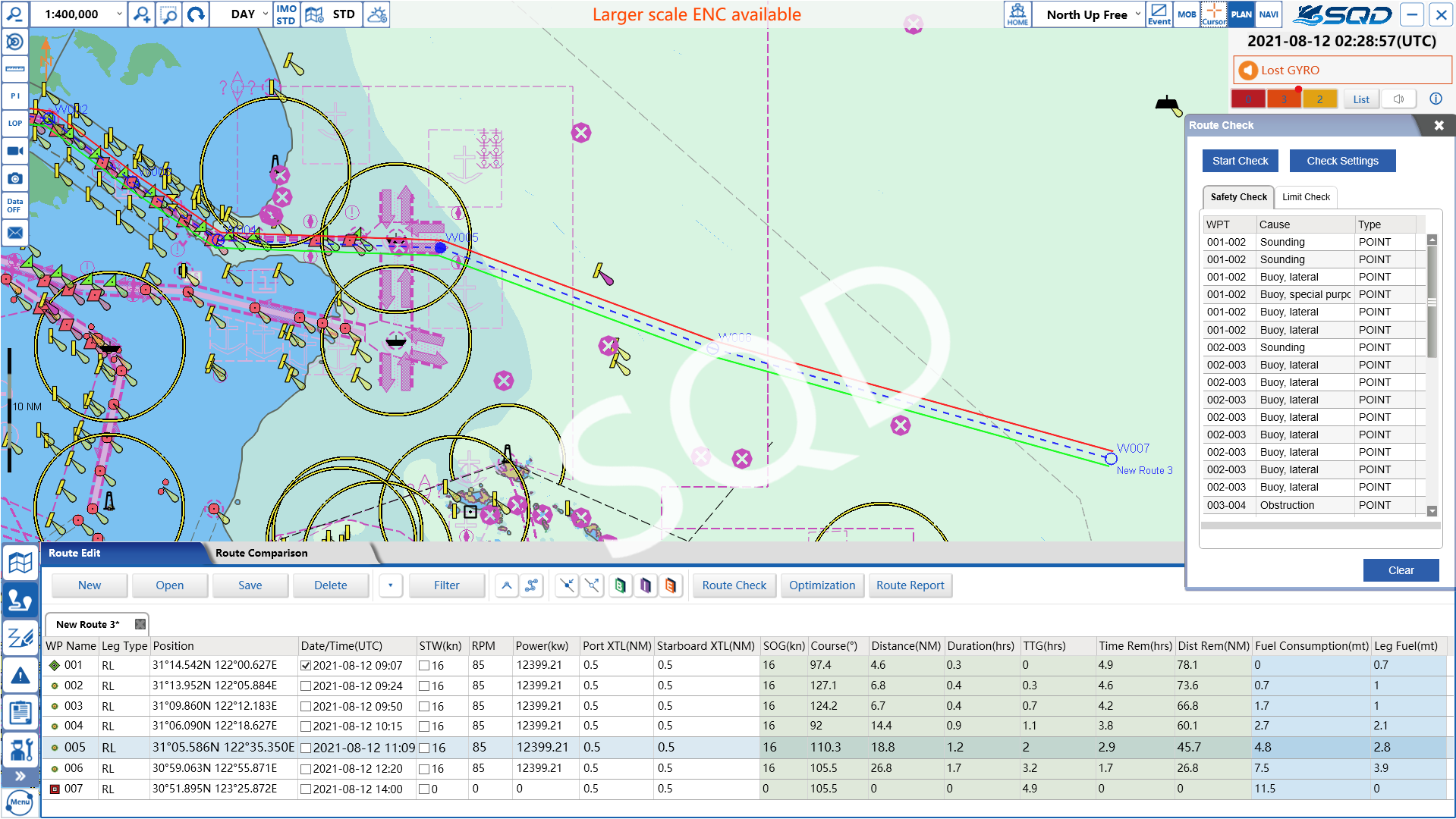
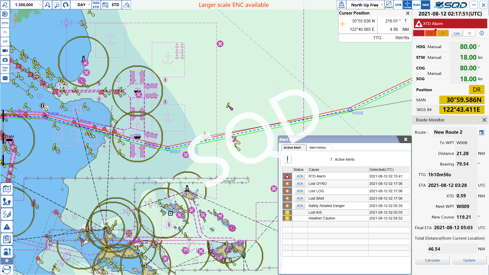
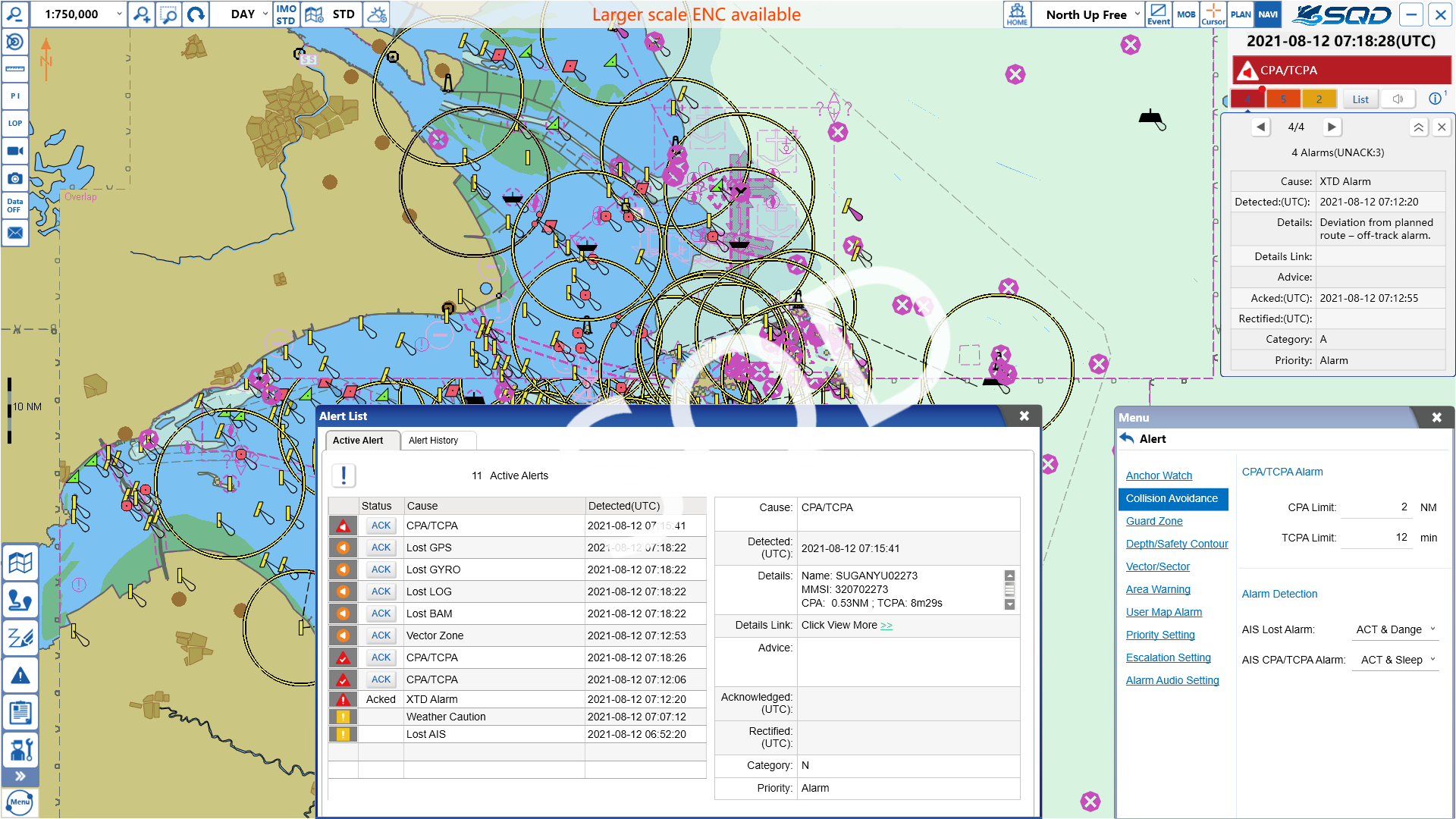
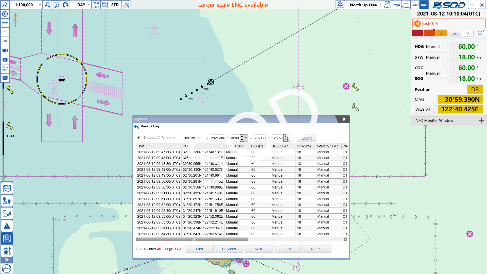
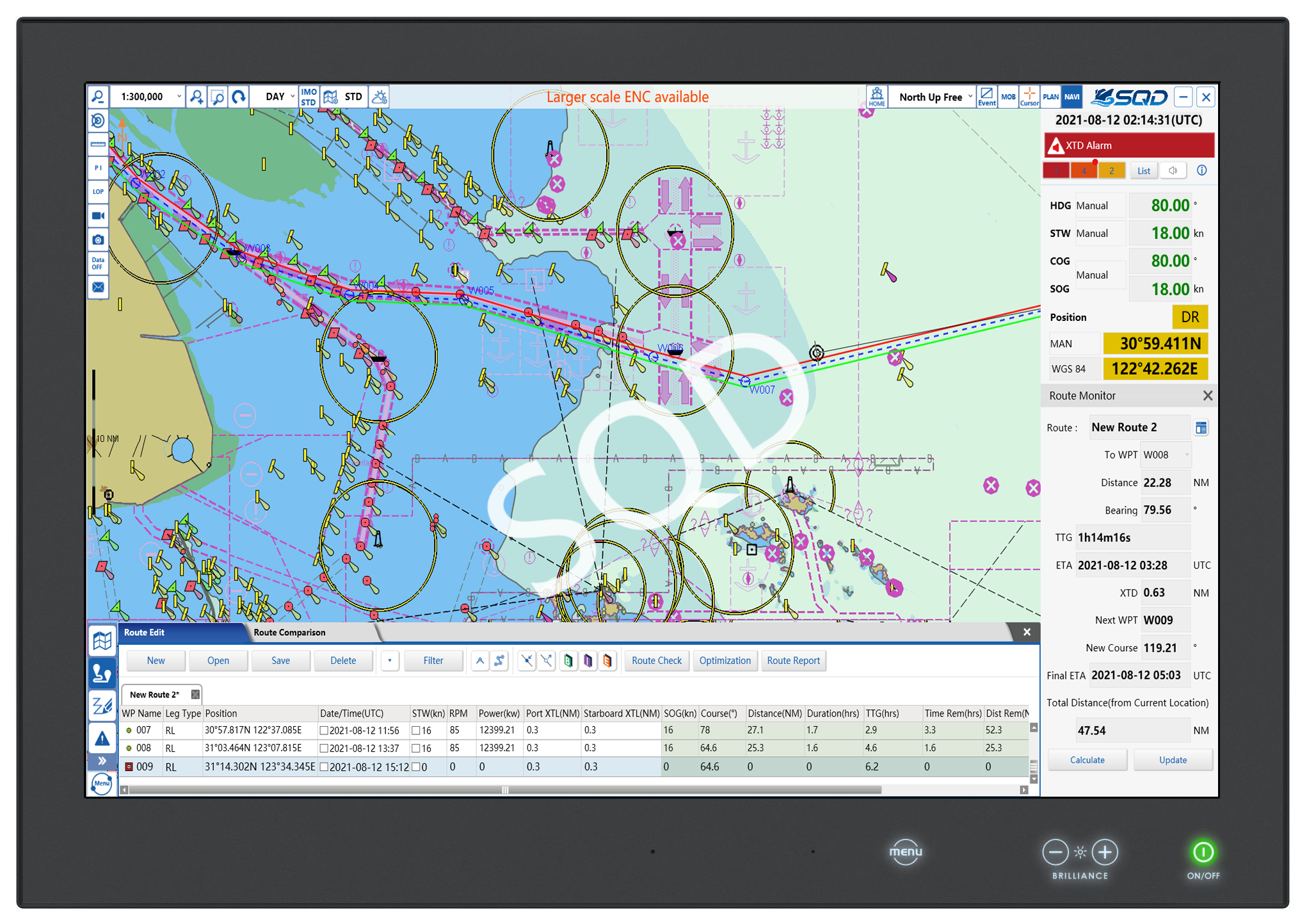
Electronic chart display and information system (ECDIS) is an integrated system, containing multiple functions, such as the meteorological information management and display, electronic chart management and display, route design and optimization, navigation monitoring, navigation data recording and viewing. The system is specially designed to enhance maritime safety and assist in navigation with strong and powerful support function. The system has obtained the Certificate of Type Approval issued by China Classification Society (CCS).
Product functions

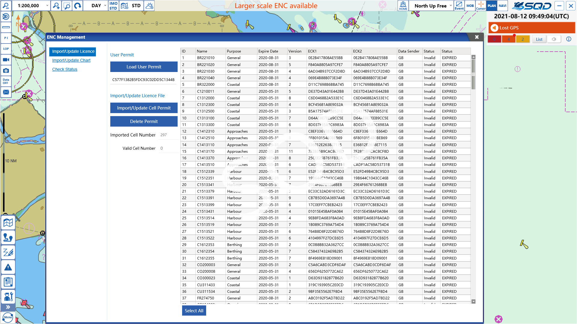
  • Electronic charts in the S57 and S63 formats can be installed and updated.


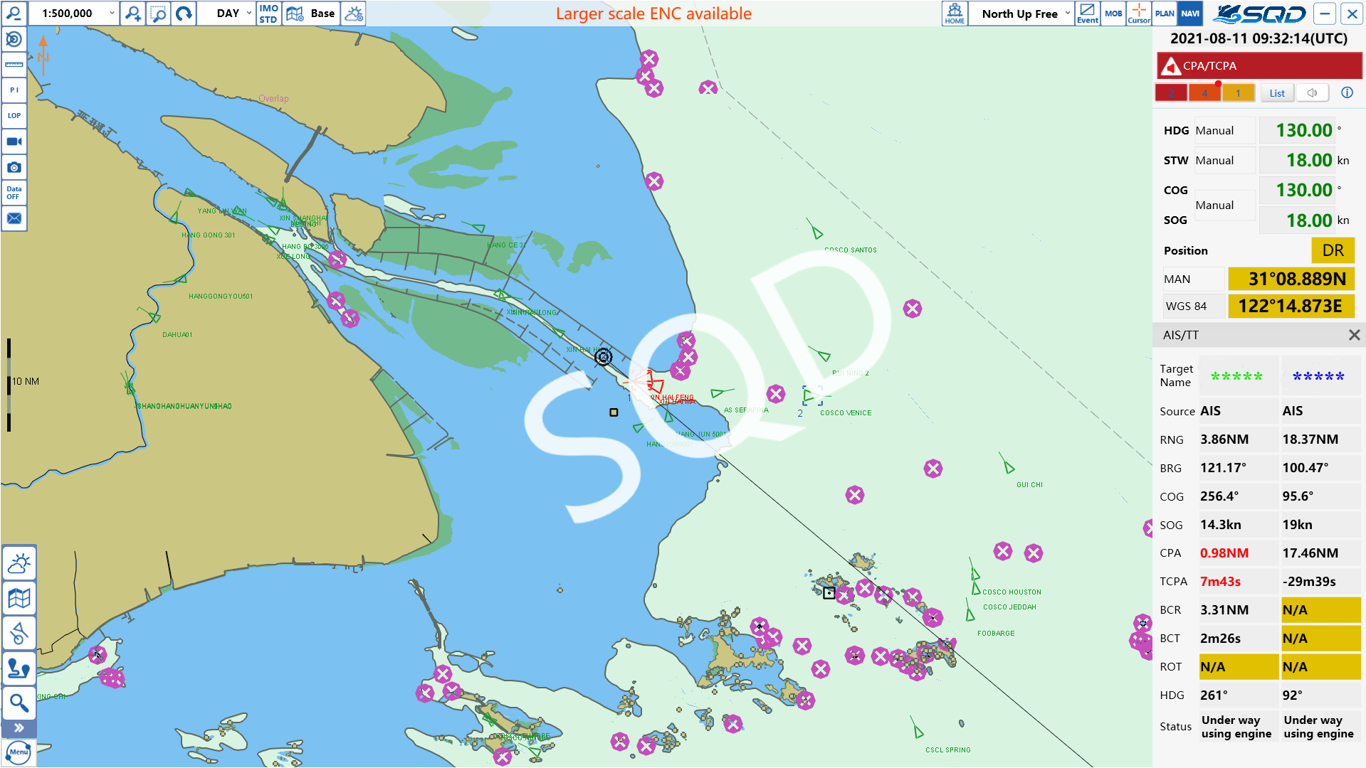
  • The information of electronic charts, own ship, navigation and so on can be displayed.


  • Route planning funtions, including route creat, route edit, route check, route save and so on.


  • Navigation monitoring function.


  • Alert funtions, including anchor watch, collision avoidance, guard zone, depth/safety contour, vector/sector alert, area warning and so on.


  • Logbooks, including voyage log, alert log, route transfer log and event log.

Product features

Technical indicators

  • IHO S57 V3.1.0 and IHO S63 V1.2.1 data format standard for Electronic chart
  • IHO S52 V4.0.2 standard for Electronic chart display